Good Earth
Soil thickness controls landslide occurrence, study finds
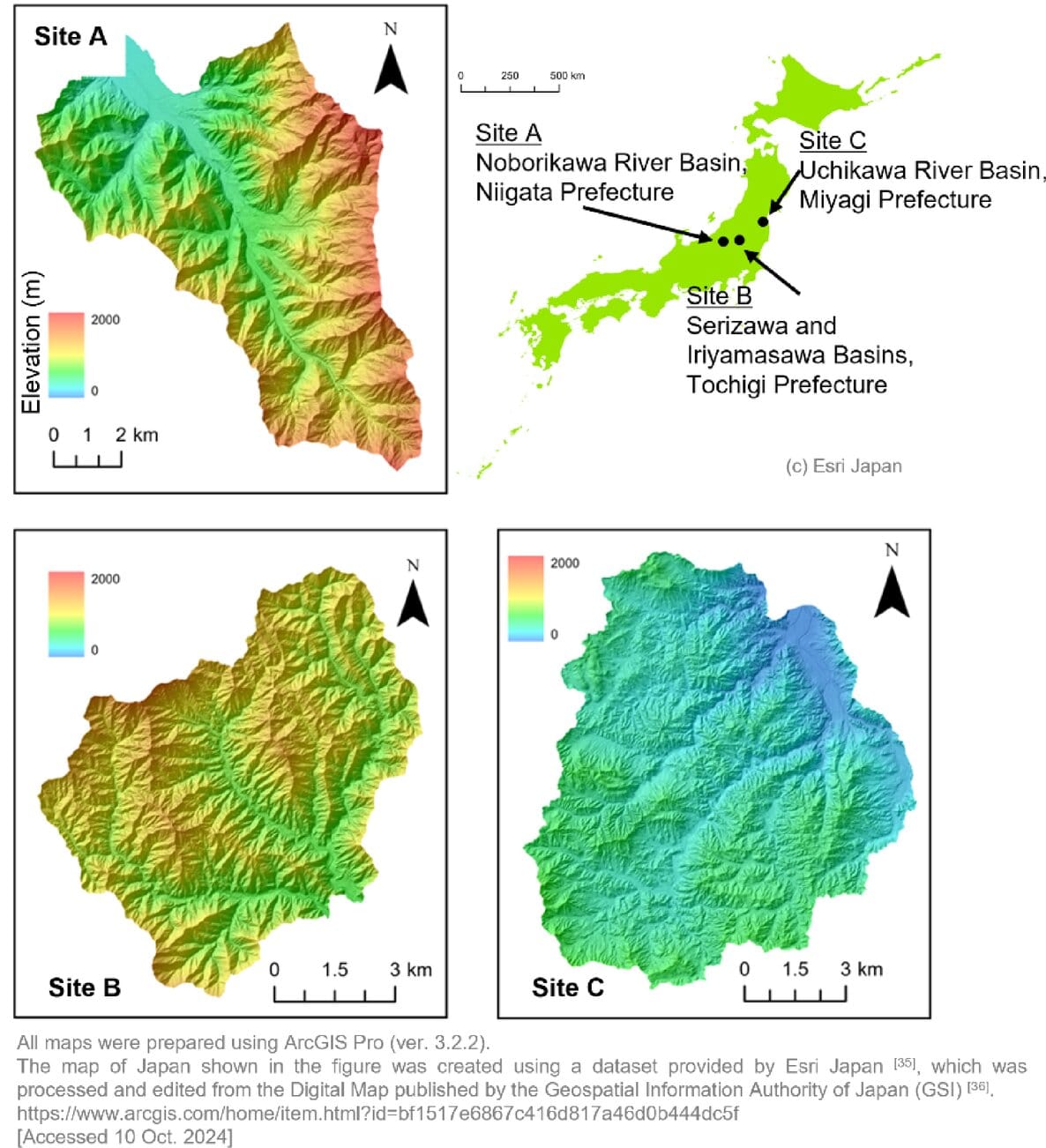
Researchers at University of Tsukuba analyzed high-resolution topographic data from airborne LiDAR to examine the relationships among landslide area, depth, and slope gradient.
Good Earth
Researchers at University of Tsukuba analyzed high-resolution topographic data from airborne LiDAR to examine the relationships among landslide area, depth, and slope gradient.
Jul 7
Understanding how places, species, and natural systems change can help people make more thoughtful decisions about what comes next.